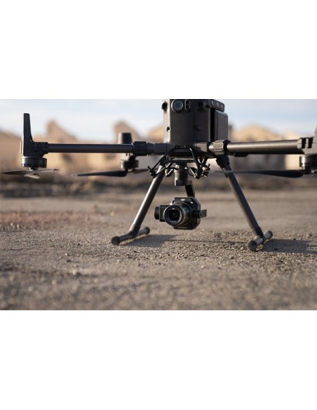
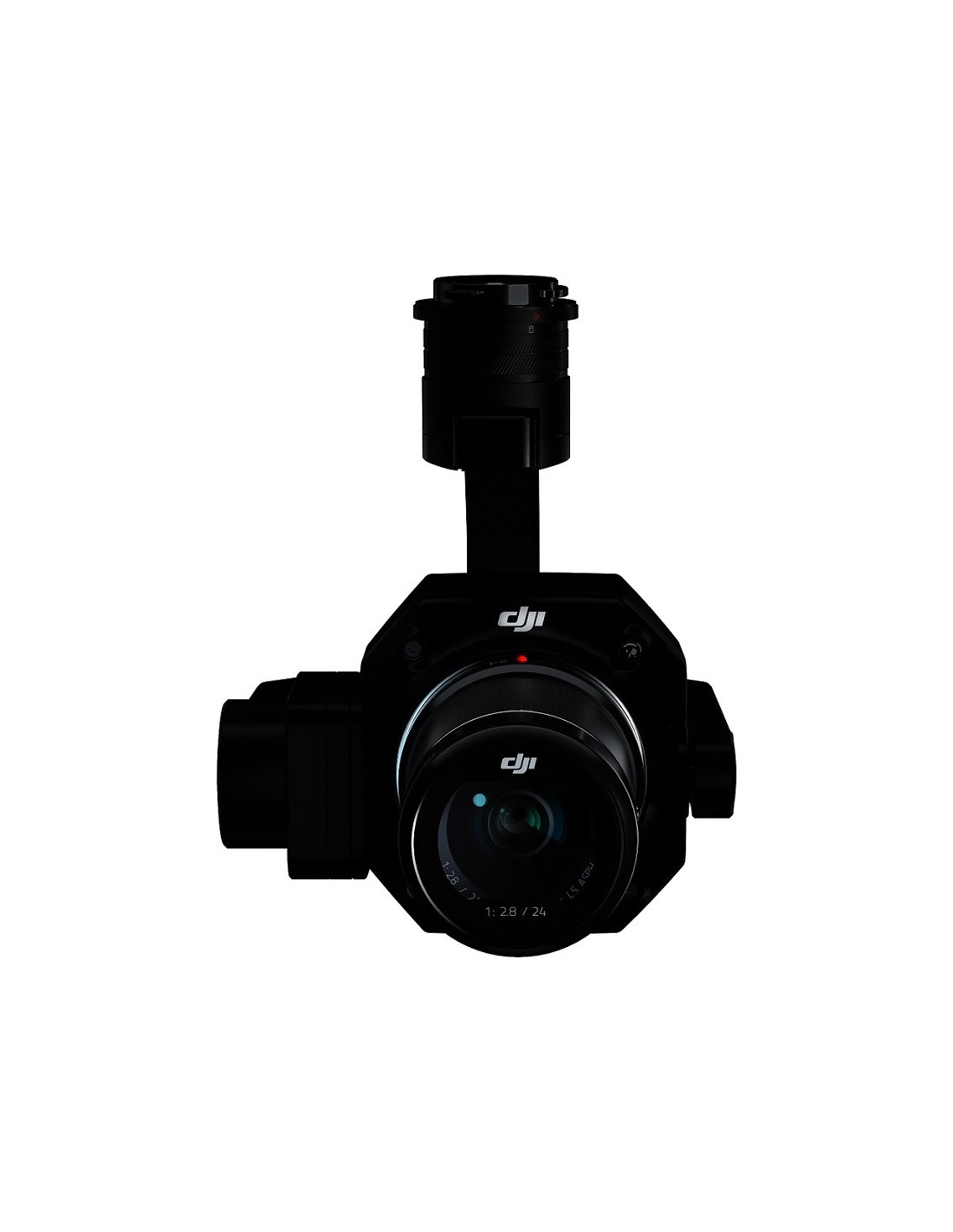
Zenmuse P1
DJI's Zenmuse P1 camera is designed to perform aerial photogrammetry missions over large areas of terrain accurately, efficiently and quickly. It is capable of monitoring and collecting data and images of 3 square kilometres of terrain in a single flight.
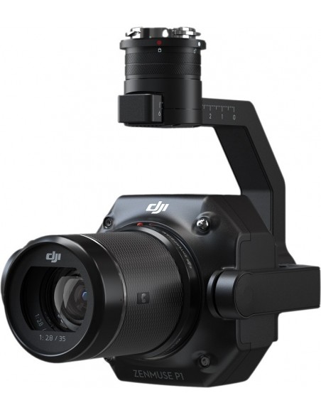
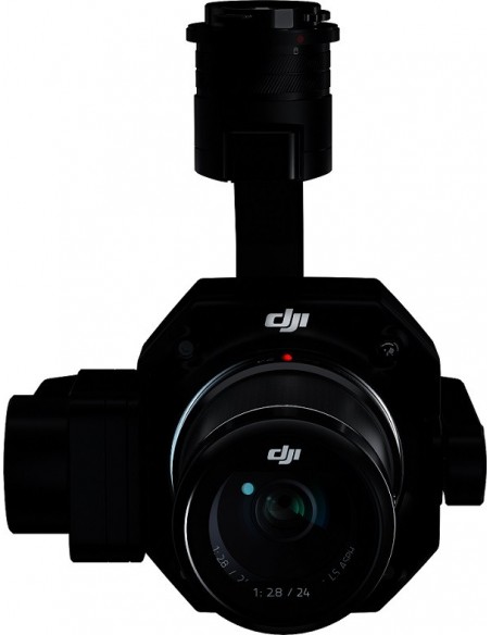
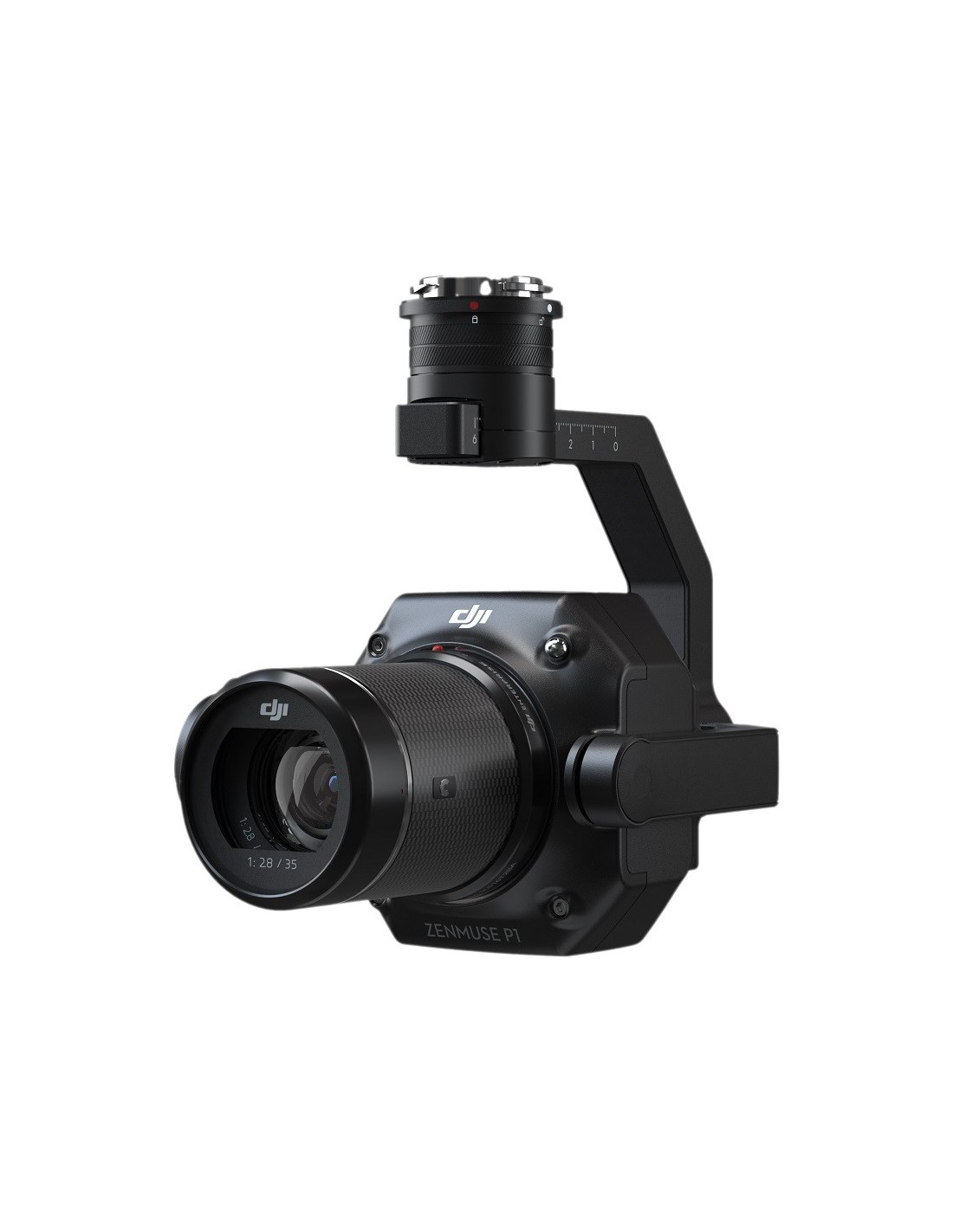
The P1 is equipped with a high-sensitivity, low-noise full-frame sensor that allows it to take a picture every 0.7 seconds during flight.
It has a resolution of 45 MP and can be equipped with 24, 35 and 50mm (f2.8) fixed lenses.
It captures centimetre-accurate images even without GCPs.
In addition, it comes equipped with a mechanical shutter, which together with the new TimeSync 2.0 system (which aligns the camera and synchronises the flight controller, RTK module and gimbal in microseconds; using AI to compensate for position and orientation in real time) enables it to capture centimetre-accurate data.
It has unmatched accuracy; 3 cm horizontally and 5 cm vertically without the need for ground reference points (GCPs).
It recreates accurate and detailed orthomosaics and 3D models.
The Zenmuse P1 uses Intelligent Skew Capture, which automatically rotates the gimbal to take photos at the different angles needed. It accurately renders oblique images that meet 3D reality modelling requirements for urban planning and cadastral surveys. Increasing post-processing efficiency by 20% to 50%.
It is perfect for acquiring ultra-high resolution data and images of vertical or inclined surfaces from a safe distance.
Faithfully recreates fine textures or complex structures, allowing detailed reconstructions, geological or conservation studies of heritage sites, hydraulic engineering...
Intelligent, centralised management of captured data.
The Zenmuse P1 has been developed by DJI to get the most out of it when mounted on the Matrice 300 RTK drone and using DJI Terra software. These products form a complete solution that provides the pilot with real-time data and geographic information of large areas throughout the flight, so he or she can make crucial decisions if necessary.
It also allows the quality of the field work to be verified by checking the position data and the number of images acquired, as well as the RTK status and position accuracy immediately after each flight.
DJI Terra processes all acquired data centrally.
The data files captured in flight (photos, GNSS data and TimeStamps.MRK files) are automatically associated and stored centrally. The image metadata contains the camera parameters and RTK status.
Zenmuse P1 camera application scenarios.
Topographic mapping and cadastral surveys.
Capture data that meets 1:500 scale accuracy requirements without GCP.
Quickly generate centimetre-accurate 3D reality models.
Architecture, Engineering and Construction
Manage and track the entire life cycle of a project with 2D and 3D data.
Natural resource management
Measure, classify or determine the properties of water bodies and/or forests.
Geological investigation
Safely collect accurate millimetre-level aerial data at high-risk geological locations.
3D modelling in natural disaster areas
Get a real-time overview of vast areas affected by natural disasters to help teams make critical decisions.
*** Translated with www.DeepL.com/Translator (free version) ***


